Pinpoint your future with GIS.
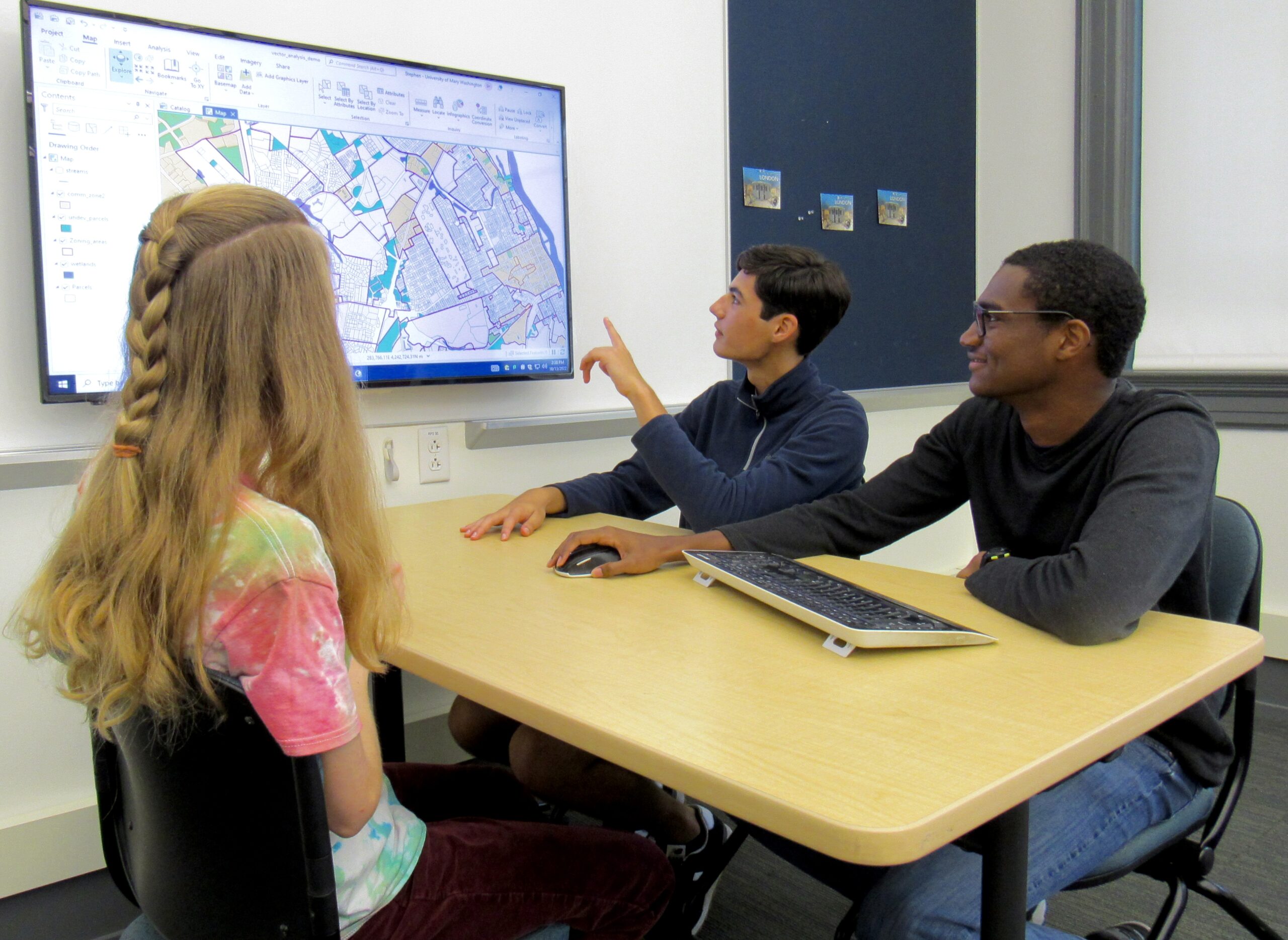
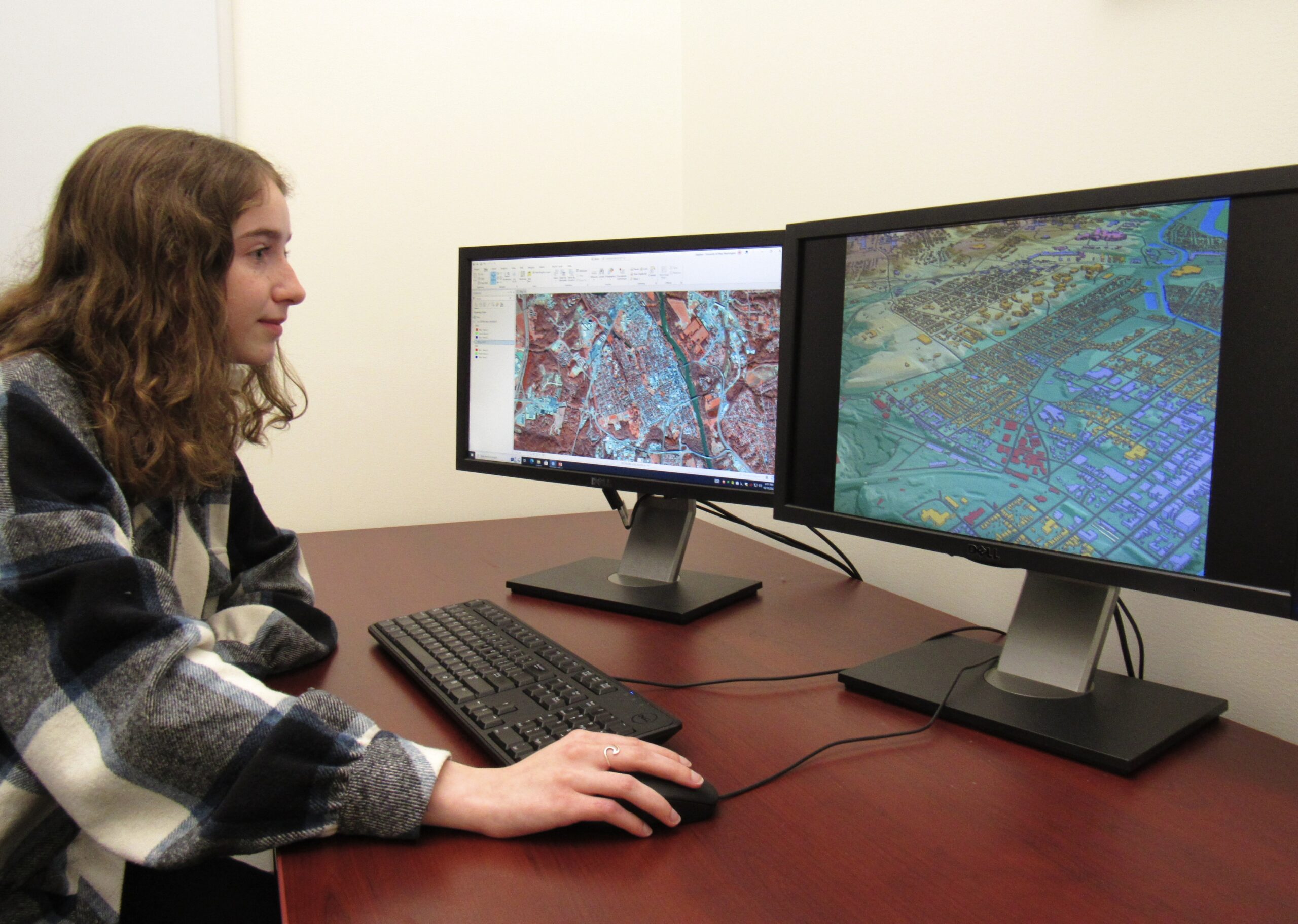
With a certificate in Geographic Information Science (GIS) at UMW, you’ll study and practice of methods used to collect, store, manage, visualize, analyze, and present geographic or spatial data. You could use it to route school buses or delivery trucks; locate a landfill, an airport, or a restaurant; or predict locations of greatest risk during a hurricane storm surge. GIS is a professional skill; pair with any major to enhance your future career.
Areas of Study
The GIS Certificate can be taken with any major, but is most commonly combined with Geography, Geology, Environmental Science, Biology & Conservation Biology, Historic Preservation, and Political Science. It is housed within the Department of Geography, where faculty specialize in spatial analysis, python programming, remote sensing, spatial statistics, and geovisualization.
Career Opportunities
UMW is located in the region with more GIS-related positions than any other area of the United States. Alumni work in intelligence, environmental, industry, planning, local government, non-profit, and development sectors – and there are internship opportunities in all of these areas.

The certificate requires 19 credit hours of GIS course work, taken in four 4-credit courses and one 3-credit capstone. It may be taken by undergraduates just like a minor, or by professional non-degree-seeking students. Introduction to GIS and Spatial Analysis are required. Students take one elective, and they take either GIS Programming or Web GIS. The capstone is either an internship or a directed study. The certificate can be obtained solely through evening classes.