Geospatial analysis is mapping, but so much more.
Collect, organize, and analyze data that explains where things were, are, or could be. Build a deep understanding of a spatial dataset, model relationships with environmental conditions, predict future changes. Visualize your results in a GIS, a map, a 3-D animation, or a web app. Geospatial analysis is one of the most important majors you’ve never heard of!
Areas of Study
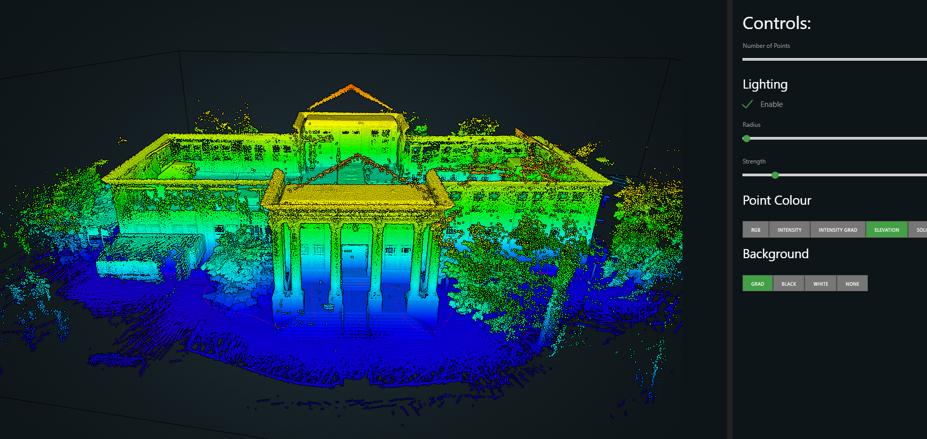
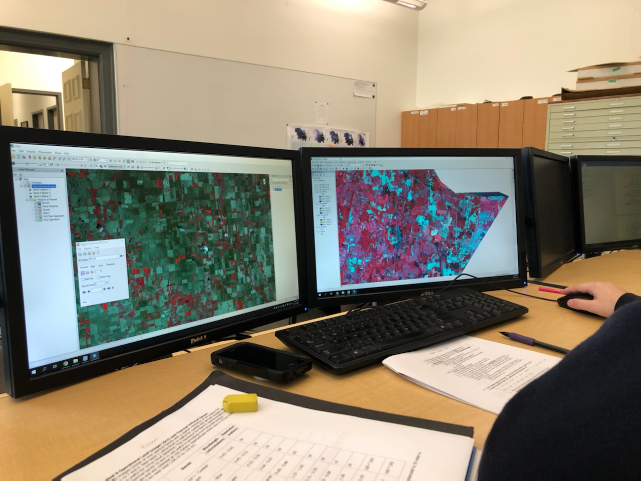
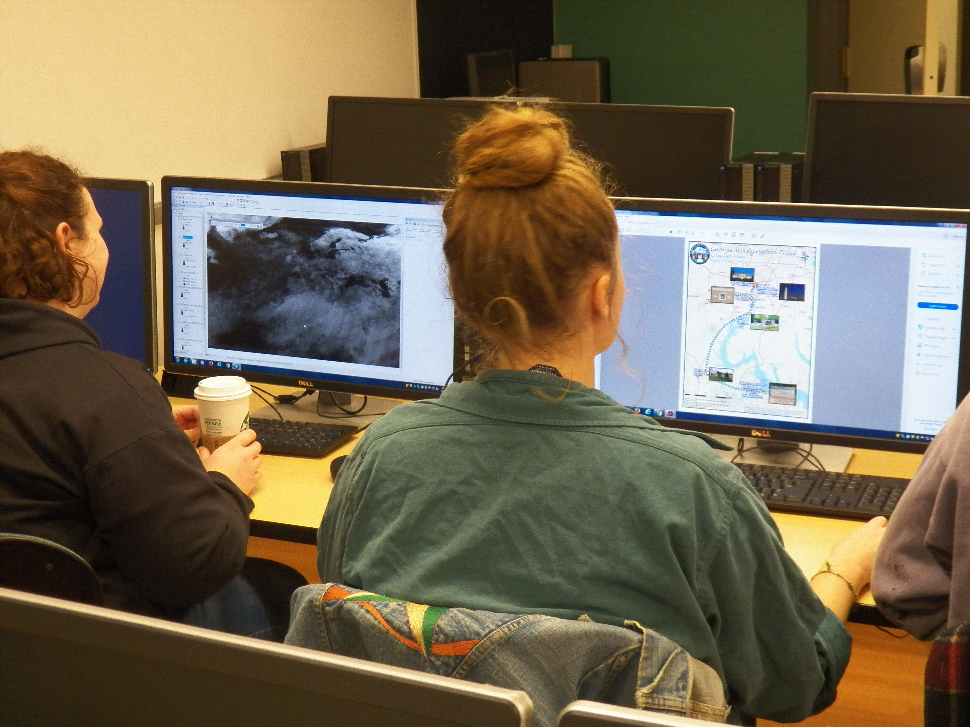
Spatial information is used every day by ordinary people, in Google Maps, Waze, tracking a flight, or tagging a photo. An abundance of geospatial data is collected by government agencies, non-profits and private companies. Much of it is freely available and can be used to explore and analyze geospatial questions. Geospatial analysis majors are interested in geography, information technology, visualization, and problem-solving. They use satellite and air-photo data, spatial statistics, the global positioning system, and GIS programming. Students tailor their interests to one or more areas in geography, such as planning, economic development, or environmental studies. Majors are also encouraged to engage in internships, study abroad programs, and undergraduate research.
How can I learn outside of class?
Students commonly intern with local governments, in departments focused on GIS, planning or utilities. Many UMW students hold internships with the National Geospatial Intelligence Agency (NGA) or its contractors, as well as with ESRI, the company producing software used in our teaching program. State and federal agencies, branches of the military, and non-profit organizations also use GIS and regularly host interns. Research projects with faculty are common, involving field mapping, production of online and printed maps and story maps.
What can I do with a degree in geospatial analysis?
The University of Mary Washington is located near the largest job market in the US for geospatial careers. Employers include federal intelligence and environmental agencies, state environmental and conservation bodies, and organizations focused on planning, sustainability, and the development of GIS software. Alumni of the Department of Geography at UMW can be found at all levels and regularly mentor current students.
To graduate with departmental honors, you must be a declared geography major by the beginning of your senior year. You must have a grade-point average of 3.5 in major courses and a 3.0 grade point average overall at the beginning of the second semester of your senior year. In consultation with an advisor, you’ll propose, research, and write a thesis. You’ll defend it before a committee, which determines whether it merits departmental honors.
Students completing a major in geospatial analysis earn the degree of Bachelor of Arts (B.A.) in geography. The major requires at least 41 credits, including core and foundation courses, one course from each of three areas for breadth in geography, plus three upper-level courses and a senior seminar.
To graduate with departmental honors, you must be a declared geography major by the beginning of your senior year. You must have a grade-point average of 3.5 in major courses and a 3.0 grade point average overall at the beginning of the second semester of your senior year. In consultation with an advisor, you’ll propose, research, and write a thesis. You’ll defend it before a committee, which determines whether it merits departmental honors.